Geomatics & Aerial Mapping Tools
In-house aerial surveying can quickly become expensive once excessive licensing fees, training, data security, and equipment hire are all properly accounted for.
Integrating the latest Unmanned Aerial Vehicle (UAV) and Geographic Information Systems (GIS), we provide a low-cost, accurate, and fast service to enable technology-assisted workflows from siting and design to maintenance and operation.
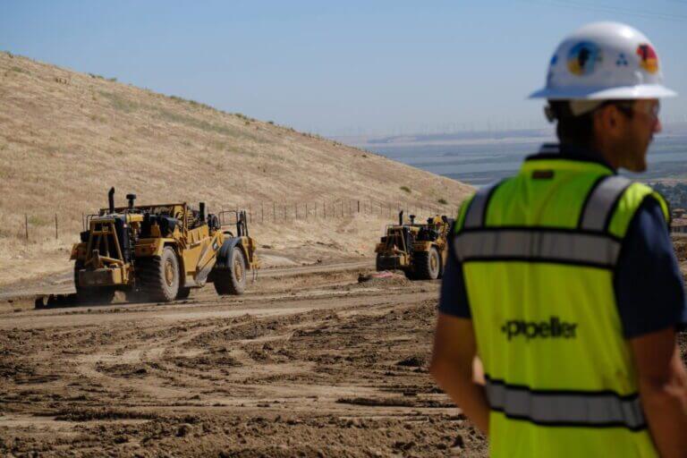
With this technology applied to construction, precision and efficiency are significantly increased, and the value-add is demonstrable compared to the costs and potential risks incurred without construction QA.

Aerial Monitoring & Surveyance Services
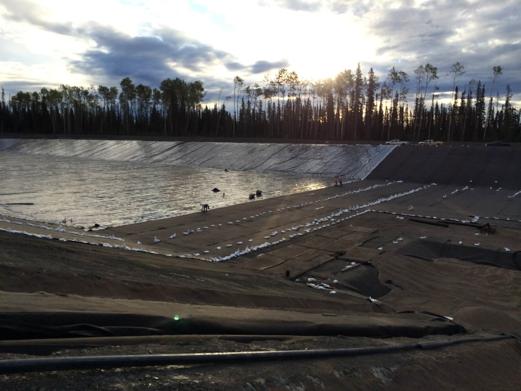
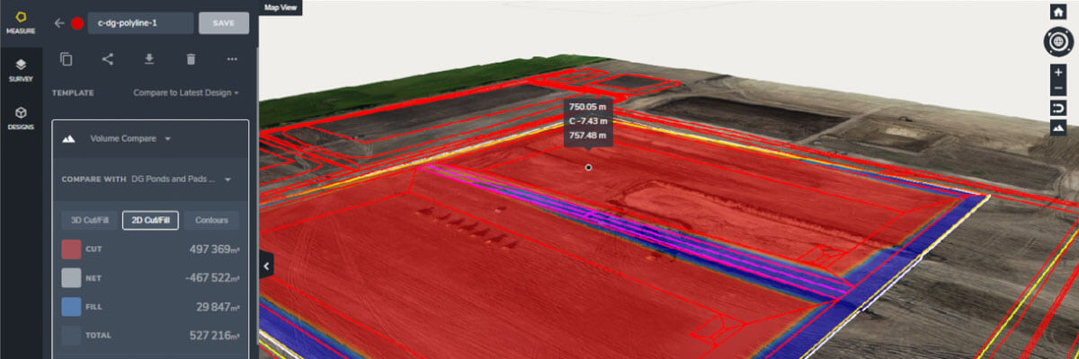
Land-based measurement is fundamental to all our project execution work. We will work with you to effectively collect and present your site data to provide more context to the project and show how it can be applied directly to your daily decision-making process.
Leverage our industry-leading expertise and technology partnerships: We work with over 20+ technology vendors and partners to ensure that you use the best technology that meets your specific needs.
Aerial Monitoring & Surveyance Services
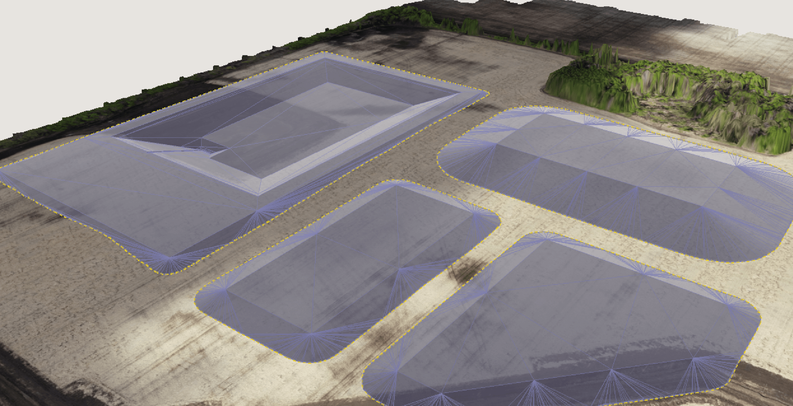
- Imagery, including PPK Capable
- Multispectral Imagery
- LiDAR, Bathymetry
- Free GeoCATA GIS subscription for customers
- GIS data management with 70+ data layers
- Detailed site imagery (+2cm/pixel)
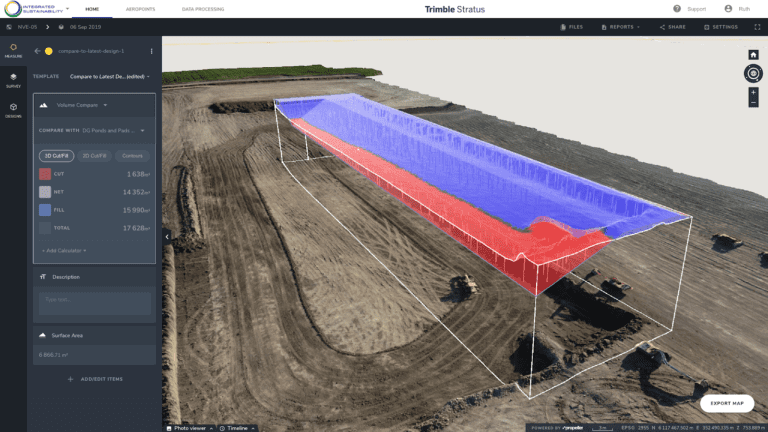
- Orthophoto, point cloud, digital elevation models, 3D models
- Visualize sites, monitor change, calculate volumes, track progress, reporting
- Pilot training and certification
- Equipment selection, procurement, rental equipment
- Data collection best practices
Optimized Operational Control
Effective communication across construction and engineering is critical for building the transparency required to deliver your project.
Reporting of daily drone imagery and aerial geomatics overlays is fundamental to demonstrate transparency, improve precision and productivity, and drive the construction schedule so that any challenges are identified and rectified immediately.
Frame your data so every team member and contractor has the same information and context when initiating a new project
Identify the potential site, design, and/or implementation challenges with minimal onsite staff
Identify errors before they become costly with real-time construction management
We arbitrate the best technology vendors and partners to find the technology that meets your specific needs

Management and Reporting
To support you with our technology-enabled workflows, we also provide systems integration, installation assistance, and a variety of remote telemetry options to improve onsite visibility.
Our customizable monitoring and siting packages are supported by data visualization and reporting software that helps you pinpoint infrastructure performance and further de-risk your project.
- Self-service data dashboard
- Custom reporting
- Personnel training
- Monitoring program software
- Monitoring software installation & support
- Integrated Data Management System
- Data Analytics and Visualization Packages
- Engineering and Regulatory Siting Tools
- Regulatory Assessments & Evaluations